
Every time your team breaks ground, there’s a risk of striking a utility. Our utility mapping specialists use the very latest technology to mitigate your risk on site, keeping you, your team and your clients safe.
Indeed, by working in accordance with PAS128 and Network Rail Standard NR/L2/TRK/3100, not only do we keep your projects on track, we also keep you compliant in the eyes of both your client and the regulator.
Utility surveys
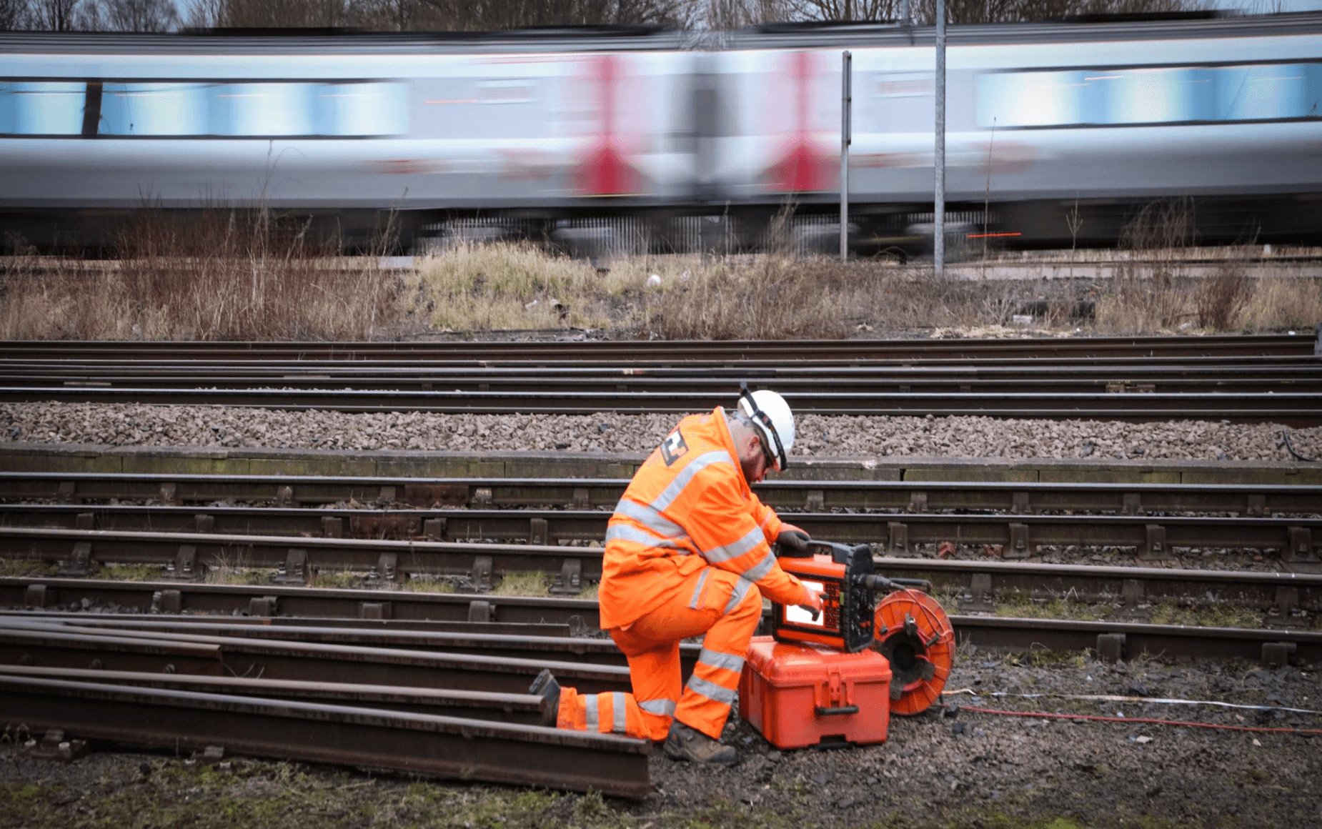
With up-to-date statutory undertakers’ plans having first been procured and consulted, professional utility surveyors will use EML (electromagnetic location) and GPR (ground penetrating radar) to accurately locate and map utilities and/or structures beneath your site.
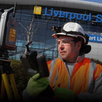
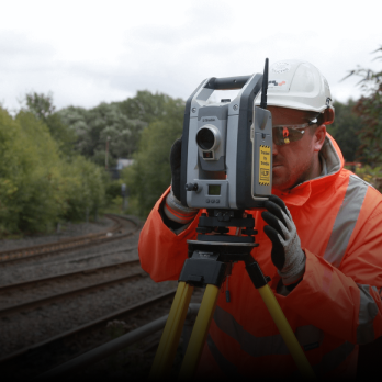
Using either robotic total stations or GNSS / GPS receivers, the lateral position of all findings will be then captured and, when combined with both depth and diameter information, plotted onto a new or existing topographical survey. If applicable, any GPR data will also be post-processed and analysed before comprehensive and user-friendly reports are produced.
What can we detect and map?
Electricity cables
Gas pipes
Water pipes (clean and foul)
Telecommunications cables (including fibre optics)
Foundations
Pile caps
Voids (including inspection pits and basements)
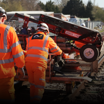
Railway track
Other obstructions
What are the benefits of carrying out a utility survey?
Here’s just a handful of the potential benefits that could be reaped by carrying out a thorough utility mapping survey…
- Minimise the chance of a harmful and costly utility strike
- Protect your team, other site users and/or the public from serious injury or worse
- Keep your projects on programme and on budget
- Excavate with confidence, safe in the knowledge that all due diligence has been carried out
- Safeguard your business’ reputation
- Have access to accurate, up-to-date records – a snapshot in time of buried services on your site
- Reduce inconvenience to other stakeholders (other site users/trades, road users, businesses etc.)
- Remain and exceed compliance as stipulated by HSE and EA regulations
Why carry out a utilities mapping survey?
The benefits mentioned above aside, there are legal and regulatory reasons why carrying out a GPR survey is a good idea.
Organisations have a legal obligation to protect their employees, the public and all other stakeholders who could potentially be affected by their work. Indeed, the Health and Safety Executive (HSE) deems an appropriate level of utility mapping activity to be a mandatory precursor to any excavation. Should you experience a service strike after choosing not to carry out a survey, therefore, you could be facing…
- A substantial insurance claim
- Financial loss due to programme slippage, compensation payments, fines, insurance excess and increased premiums
- Reputational damage and a loss of confidence
- Criminal charges (gross negligence/corporate manslaughter or corporate manslaughter being the worst)
What equipment do we use?
When carrying out utility surveys be they on or off the railway, we only ever use Network Rail approved survey equipment. From the seemingly humble (but incredibly powerful) cable avoidance tool to the very latest in dual-antennae GPR, we firmly believe in using the right tool, for the right job, in the right way.
Network Rail approved survey equipment
Leica DS2000 Utility Detection Radar (GPR)
Radiodetection RD8000 Cable Avoidance Tool (CAT)
Radiodetection TX-10 Signal Generator / Transmitter (Genny)
Trimble 0.5" S9 Robotic Total Station
Trimble TSC7 Data Logger
Spectra Precision SP80 GNSS / GPS Receiver
Various Cable Reels and Sondes as Required
Get in touch
For more information on our PAS128 compliant utility mapping surveys or to request a quotation, why not get in touch? A member of our team will be happy to assist.
Contact us